Trail Walking La Chaudière - La chaudière- chapelle des Sadoux - Photo

La chaudière- chapelle des Sadoux

 ajd26
ajd26

User

© OpenStreetMap contributors
Length
Length
11.3 km
Max alt
Max alt
1052 m
Uphill gradient
Uphill gradient
472 m
Km-Effort
Km-Effort  
17.6 km
Min alt
Min alt
621 m
Downhill gradient
Downhill gradient
472 m
Boucle
Boucle
Yes
Creation date :
2025-01-16 08:21:15.0
Updated on :
2025-01-21 10:46:01.677

(0 Reviews)

Walking
Walking
3h07
Difficulty : Medium

Scan this QR Code to open this trail in the SityTrail application

FREE GPS app for hiking

Logo SityTrail SityTrail

IGN / Geographical institutes

Download SityTrail from the App Store Download SityTrail from Google Play

Logo SityTrail SityTrail Plus

The world is yours!

Download SityTrail from the App Store Download SityTrail from Google Play Download SityTrail on Huawei AppGallery

About

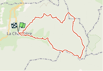
Trail Walking of 11.3 km to be discovered at Auvergne-Rhône-Alpes, Drôme, La Chaudière. This trail is proposed by ajd26.

Description

au retour, au col de la Baume, il faut trouver (dans le virage) il faut trouver la trace en tiret noir sur la carte qui monte sur serre de Monfort et serre des Croix
dans le sens inverse, il est très bien marqué
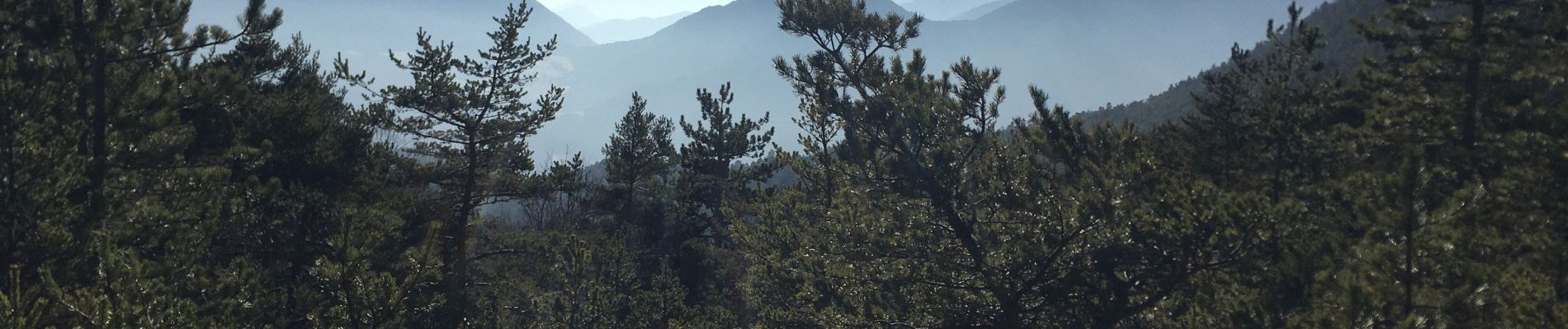
Elevation profile

Photos

Positioning

Country:
France
Region :
Auvergne-Rhône-Alpes
Department/Province :
Drôme
Municipality :
La Chaudière
Location:
Unknown
Start:(UTM)
675720 ; 4944558 (31T) N.


Close
My subscriptions